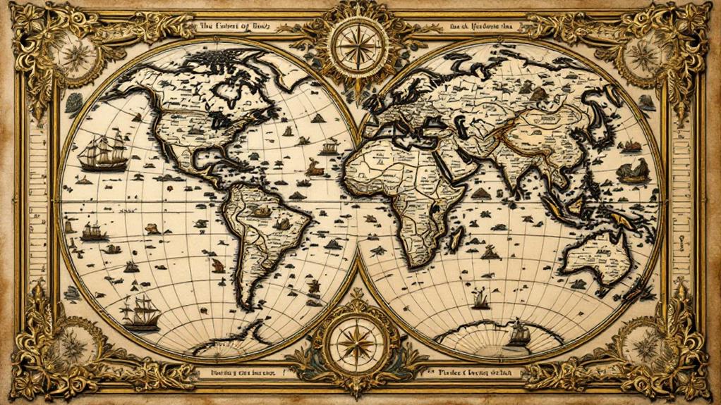
The History of Cartography: How Maps Have Shaped the World
Maps have shaped the world for millennia, morphing from ancient clay tablets to today's digital interfaces. You'll find that early cartographers used religious and cultural beliefs to represent the Earth, while the Age of Exploration spurred more accurate depictions. The Scientific Revolution brought mathematical precision to mapmaking, and colonial powers used maps as tools of conquest. In recent times, aerial photography and satellite imagery have revolutionized cartography. Now, digital maps offer real-time, personalized guidance at your fingertips. As technology progresses, the future of cartography holds exciting possibilities that will continue to remodel how you perceive and interact with the world around you.
Ancient Maps and Early Cartography
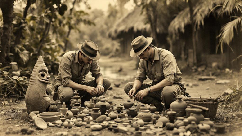
Throughout history, humans have been fascinated by the world around them. This curiosity led to the development of cartography, the art and science of mapmaking. Ancient civilizations like the Babylonians, Egyptians, and Greeks were among the first to create maps, using them for navigation, land ownership, and understanding their surroundings.
Early cartographers didn't just focus on terrestrial maps; they also created celestial maps to chart the stars and planets. These maps were essential for navigation at sea and played a significant role in astronomy and astrology. As civilizations advanced, so did their mapping techniques. Early land surveys became more sophisticated, allowing for more accurate representations of terrain and property boundaries.
The ancient Greeks made significant contributions to cartography, with Ptolemy's "Geography" being a cornerstone work that influenced mapmaking for centuries. Roman maps, like the Tabula Peutingeriana, showcased an extensive road network across their empire. In China, the invention of the compass in the 11th century revolutionized navigation and mapmaking. As exploration expanded in the following centuries, maps became increasingly detailed and accurate, forging the way for modern cartography.
Medieval Mapping and Religious Influence
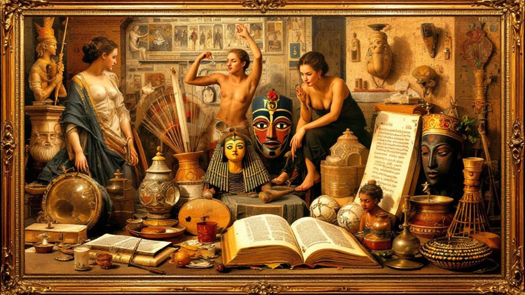
Three major factors shaped cartography during the medieval period: religious beliefs, limited exploration, and the preservation of classical knowledge. You'll find that medieval maps often reflected theological viewpoints rather than geographical accuracy. The famous T-O maps, for instance, placed Jerusalem at the center of the world, with Asia, Europe, and Africa arranged around it in a T shape within a circular O.
Christian mapmakers incorporated spiritual symbolism into their work, depicting biblical events and religious icons alongside geographical features. You'll notice that these maps weren't designed for guidance but rather to illustrate Christian cosmology and reinforce religious teachings.
Despite limited exploration, some medieval maps did include new geographical information. Arab cartographers, in particular, made significant contributions, preserving and expanding upon Greek and Roman knowledge. The Tabula Rogeriana, created by al-Idrisi in 1154, was one of the most accurate world maps of its time.
Monastic scribes played a pivotal role in preserving ancient cartographic knowledge, copying and sometimes updating classical maps. This preservation effort laid the groundwork for the Renaissance resurgence of geography and cartography.
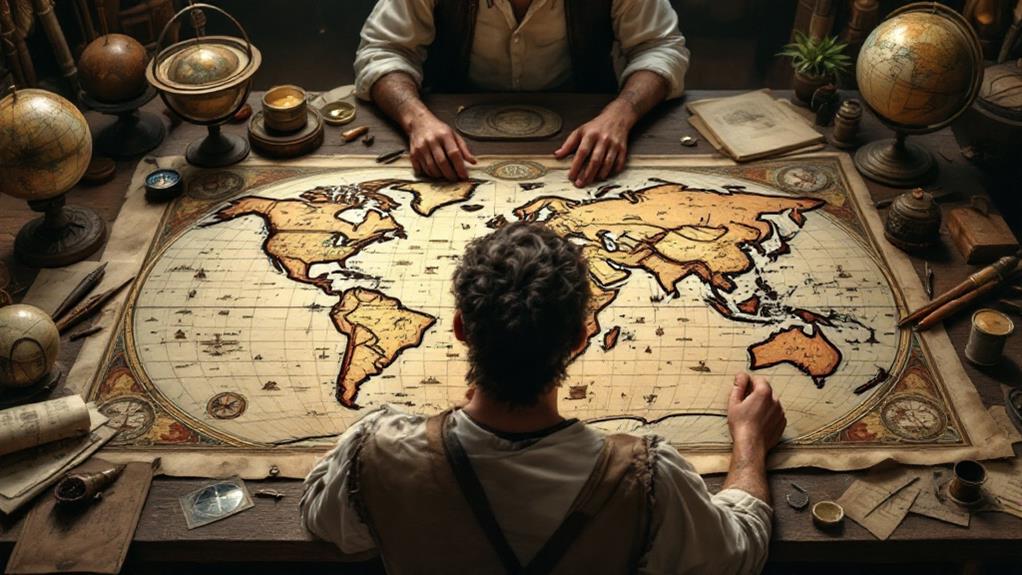
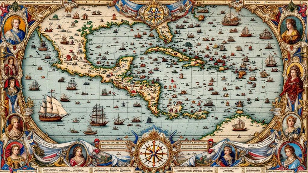
Age of Exploration Cartography
Dawning in the 15th century, the Age of Investigation revolutionized cartography. You'll find that as European adventurers ventured into uncharted waters, they brought back useful information about new lands and sea routes. This era saw the emergence of navigational techniques that greatly improved map accuracy.
The examination of new territories led to significant advancements in cartography:
- More precise coastal outlines
- Improved understanding of ocean currents
- Better representation of landmasses
- Inclusion of newly discovered islands and continents
- Integration of celestial navigation data
You'll notice that maps from this period began to shed their religious overtones and focused more on practical information for sailors and traders. The Mercator projection, developed in 1569, became a standard for nautical charts due to its ability to represent straight lines of constant course.
As you inspect maps from the Age of Investigation, you'll see a dramatic shift in both content and style. Cartographers started incorporating indigenous place names and local knowledge, creating a more inclusive view of the world. This period laid the foundation for modern cartography, shaping how we perceive and engage with our planet today.
Scientific Revolution in Mapmaking
As scientific advancements swept through Europe in the 17th and 18th centuries, cartography underwent a dramatic alteration. You'd see mapmakers embrace innovative tools and techniques, revolutionizing the accuracy and detail of their creations. The scientific revolution brought precision instruments like the telescope and sextant, enabling cartographers to measure distances and angles with unparalleled accuracy.
Mathematically derived projections became a cornerstone of this transformative period in mapmaking. You'd find cartographers like Gerardus Mercator developing innovative ways to represent the spherical Earth on flat surfaces, preserving certain properties while sacrificing others. These projections allowed for more accurate planning and guidance of long-distance voyages.
The scientific revolution also expanded cartography beyond Earth's surface. Celestial mapping flourished as astronomers charted the night sky with increasing precision. You'd see beautiful star charts and planetary maps emerging, reflecting humanity's growing understanding of the cosmos.
This period marked a shift from artistry to scientific rigor in mapmaking. You'd witness the birth of thematic maps, displaying data on everything from population densities to geological formations, laying the groundwork for modern geographic information systems.
Colonial Era and Political Maps
In the wake of European colonial expansion, cartography took on a new role as a tool of empire. You'll find that maps became instruments of power, used to claim territories and define colonial possessions. Colonialism's geographic impacts were momentous, reshaping the world's political landscape and leaving lasting marks on modern maps.
During this era, cartographers faced new challenges:
- Accurately mapping vast, unfamiliar territories
- Representing colonial claims and borders
- Depicting indigenous lands and peoples
- Balancing political interests with geographic accuracy
- Incorporating new scientific knowledge into maps
As European powers carved up the globe, maps became indispensable in settling national boundary disputes. You'd see intricate negotiations and treaties hinge on cartographic representations. These political maps often ignored existing cultural and ethnic boundaries, leading to conflicts that persist today.
The colonial era's cartography also reflected changing attitudes towards space and ownership. You'd notice a shift from decorative, artistic maps to more utilitarian designs focused on precise measurements and clear demarcation of territories. This transformation in mapmaking mirrored the broader changes in global power dynamics and scientific thought during this seminal period in history.
Technological Advancements in Cartography
Three major technological advancements revolutionized cartography in the 20th century: aerial photography, satellite imagery, and digital mapping. These innovations dramatically improved the accuracy and detail of maps, altering how we comprehend and engage with our world.
Aerial photography, first used extensively in World War I, allowed cartographers to create more precise topographical maps. You'll find that this technique captured landscapes from above, revealing features previously difficult to map from the ground.
Satellite imagery analysis took mapping to new heights, quite literally. Since the 1960s, you've been able to benefit from increasingly detailed views of Earth from space. This technology enables cartographers to map vast areas quickly and monitor changes in the terrain over time.
Geographic information systems (GIS) have revolutionized how you interact with maps. These digital tools allow you to layer different types of data onto maps, creating vibrant, interactive representations of geographic information. You can now analyze spatial relationships, track changes, and make predictions based on complex data sets, all within a digital mapping environment.
Digital Maps and Future Trends

Ushering in a fresh chapter of cartography, digital maps have revolutionized how we traverse and comprehend our world. You're now able to access intricate, real-time mapping data at your fingertips. Mobile mapping applications have transformed navigation, offering turn-by-turn directions and up-to-date traffic information. These digital tools have made paper maps obsolete for many, as you can now investigate cities, plan routes, and uncover new places with unparalleled ease.
The future of cartography holds exciting possibilities:
- Augmented reality integration
- 3D mapping for immersive experiences
- AI-powered predictive navigation
- Crowdsourced map updates
- Personalized mapping based on user preferences
As technology advances, you'll see maps become more interactive and customizable. They'll adapt to your needs, offering personalized suggestions and understandings. Real-time mapping will continue to improve, providing even more accurate and timely information. You'll experience seamless integration between digital maps and other technologies, enhancing your daily life in ways yet unimagined. The evolution of digital cartography promises to further reshape how you perceive and interact with the world around you.
Related posts