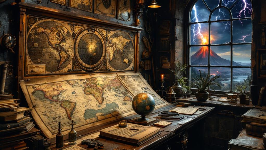
The History of Geography: Mapping the World Through Time
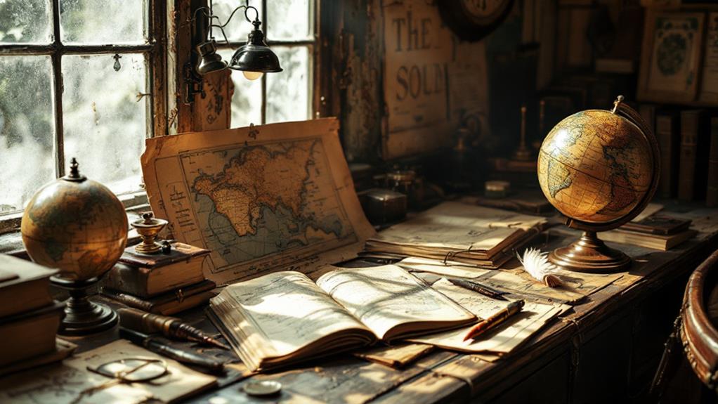
You're in for an exciting expedition through the history of geography, starting from ancient myths and early land surveys by Egyptians and Mesopotamians to today's digital maps. Uncover how classical cartography, with Ptolemy's influence, set foundations for systematic mapping, while medieval maps blended geographical facts with rich religious symbolism. The Period of Exploration expanded horizons with new navigational tools and cultural exchanges. Enlightenment innovations brought scientific inquiry, leading to 19th-century advancements and a robust understanding of Earth's geography. Modern times introduced the digital revolution, transforming map interactions. Reveal the secrets of geography's rich tapestry with each age.
Ancient Beginnings
Geography's roots can often be traced back to ancient civilizations that sought to understand the world around them. You're stepping into a time when geographical myths and legends were woven into the fabric of everyday life. These stories not only explained natural phenomena but also guided early adventurers as they ventured into uncharted territories. Ancient civilizations, like the Egyptians and Mesopotamians, developed early systems of land surveying to manage agriculture and resources effectively.
Trade routes became lifelines, connecting distant lands and fostering cultural influences that shaped societies. As you navigate this period, you'll find that celestial navigation played a significant role, with stars and planets acting as guides across vast deserts and open seas. The Phoenicians, for instance, were masters of the sea, using the night sky to chart their courses.
Cartographic symbols began emerging as primitive maps were etched onto clay tablets and papyrus, capturing the known world in simple lines and shapes. These symbols served as fundamental tools for those early explorers who dared to cross mountains and rivers. By understanding these ancient beginnings, you can appreciate how geography evolved from a collection of myths and observations into a foundational science.
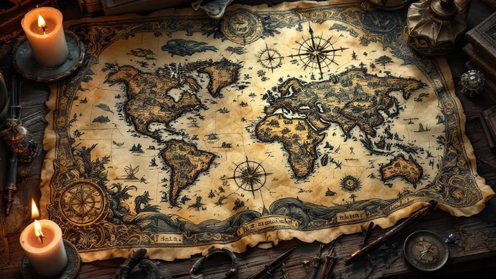
Classical Cartography
As you investigate Classical Cartography, you'll uncover a transformative period when mapmaking became an art and science. During this time, the Ptolemaic Influence played a vital role in shaping cartographic practices. Claudius Ptolemy's work, particularly his "Geographia," introduced systematic ways to depict the Earth's surface through groundbreaking map projections. This allowed for more accurate representations of geographical data, laying a foundation for future advancements.
You're likely to find that nautical charts also emerged during this period, fundamental for navigation and trade across seas. These charts were not only practical but also beautiful, showing the intricate details of coastlines and ports. Geographic theories developed during this time, emphasizing the importance of understanding Earth's regions and their characteristics. Scholars engaged in regional studies to improve their maps' historical accuracy and cultural representations.
Cartographic techniques advanced considerably, with mapmakers incorporating details about terrain, climate, and demographics. They strove for precision and clarity, ensuring that their maps were both informative and aesthetically pleasing. As you investigate deeper into Classical Cartography, you'll appreciate how these efforts laid the groundwork for future inquiries and the evolving science of geography.
Medieval Maps
In the dimly lit scriptoriums of medieval Europe, monks and scholars carefully crafted maps that reflected both the known world and domains of imagination. These manuscript maps were infused with medieval worldviews, blending geographical facts with religious influences. You'd notice how these maps often placed Jerusalem at the center, symbolizing its spiritual importance. This cartographic symbolism was common, guiding viewers to interpret the world through a religious lens.
Regional representation in these maps varied greatly, with some regions depicted in detail while others remained vague or fantastical. The artistic styles were as diverse as the regions themselves, with intricate illustrations and rich colors bringing the maps to life. Such maps not only illustrated the geography but also conveyed the cultural and religious beliefs of the time.
Trade routes were essential, and you'd see them prominently featured, connecting different parts of the known world. These routes facilitated the exchange of goods, ideas, and navigation techniques. However, navigation techniques during this period were rudimentary compared to later times. Medieval maps served as more than just navigational tools; they were windows into a world where faith and knowledge intertwined, shaping how people understood their place on Earth.
Age of Exploration
Curiosity and ambition fueled the Period of Exploration, a transformative age that expanded geographical knowledge and reshaped global interactions. You'll find that investigation motivations varied, driven by the desire for wealth, national prestige, and the spread of religion. Navigational techniques advanced greatly during this time, as explorers like Columbus and Magellan relied on innovations such as the astrolabe and compass to chart unknown waters.
As you immerse yourself in this era, you'll notice the profound cultural encounters between Europeans and indigenous peoples. These meetings often led to the exchange of goods, ideas, and sometimes conflict. Established trade routes, once limited to land, now expanded across oceans, facilitating the exchange of spices, silk, and precious metals.
Map symbolism achieved new importance, serving not only as practical guides but also as tools of political power and propaganda. Maritime discoveries, such as new continents and sea passages, challenged existing geographic knowledge and encouraged further investigation. However, you shouldn't overlook the expedition challenges: treacherous weather, disease, and logistical issues that threatened these daring voyages. Through persistence and innovation, explorers redefined humanity's understanding of the world, paving the way for future generations to build upon their findings.
Enlightenment Innovations

The Enlightenment period sparked a transformation in geographical understanding, driven by the pursuit of reason and scientific inquiry. You'll find that during this timeframe, scientific revelations altered how people viewed the world. Geographic societies were established, bringing together intellectuals engaged in lively debates about exploration motivations and mapping the unknown. These societies became hubs for exchanging cutting-edge ideas and fostering collaboration across borders.
As you investigate this period, notice the advancements in navigational tools that improved accuracy and safety for explorers. Innovations like the sextant and chronometer changed sea travel, allowing ships to determine longitude and latitude with unprecedented precision. This progress fueled cultural exchanges and expanded trade routes, enriching societies with new knowledge and goods.
Map making techniques evolved greatly, incorporating detailed land surveying methods and a wider array of symbols and scales. Cartographers worked tirelessly to depict the world more accurately, reflecting both the intellectual curiosity and competitive spirit of the time. Through these efforts, maps became essential instruments for navigation and understanding.
Ultimately, the Enlightenment Innovations laid the groundwork for modern geography, emphasizing empirical evidence and curiosity in unraveling the world's mysteries.
19th Century Advances
Building on the spirit of innovation from the Enlightenment, the 19th century witnessed remarkable advances in geography that shaped our modern understanding of the world. You'd find that during this period, mapmaking techniques evolved considerably, influenced by both scientific advancements and artistic representations. New geographic revelations emerged as explorers ventured into uncharted territories, expanding the known world and altering existing political boundaries.
Cultural influences played a vital role in these developments, as the exchange of ideas and information across continents enriched geographic knowledge. Technological impacts were undeniable, with inventions like the steam engine enhancing travel and facilitating more accurate mapping. Navigational tools improved dramatically, with the introduction of more reliable compasses and sextants, which allowed for precise sea and land explorations.
Artistic representations of landscapes became more detailed and realistic, capturing the imagination of those enthusiastic to learn about distant lands. These representations, combined with scientific advancements, provided a more thorough understanding of the Earth's features and phenomena. By the end of the 19th century, geography had transformed into a robust discipline, laying the groundwork for the modern cartography techniques that would soon follow.
Modern Cartography
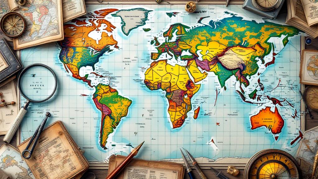
Embracing the digital revolution, modern cartography has transformed the way we perceive and interact with maps. You now experience a world where interactive maps allow you to investigate geographical data like never before. Thematic mapping has become more sophisticated, enabling you to visualize complex data sets with ease. GIS technology has altered your ability to conduct spatial analysis, providing insights into patterns and relationships that were once hidden.
Map aesthetics have also improved considerably, offering you a more visually engaging experience. Cartographic symbolism is now more intuitive, helping you understand maps without needing extensive explanations. Accuracy improvements guarantee that the maps you rely on are precise, giving you confidence in their data.
Cultural geography is another area where modern cartography has made considerable strides. You can now investigate cultural landscapes and understand the diverse human influences on geography, providing a more holistic understanding of the world. Regardless of you're studying migration patterns or urban development, modern cartography gives you the tools to analyze and appreciate these phenomena. By leveraging these advancements, you're better equipped to navigate and comprehend the complexities of our ever-changing world.
Digital Revolution
Transforming the way you engage with geography, the technological revolution has reshaped how geographic data is collected, analyzed, and shared. With the advent of geospatial technology, the tools at your disposal have become more sophisticated and accessible. You can now investigate the world through interactive mapping platforms that allow you to visualize data in dynamic ways. Satellite imagery has become a cornerstone of this revolution, offering real-time views of the Earth's surface, enabling more accurate and timely analysis.
GIS applications have expanded beyond professional use to become vital in everyday life. You can tap into virtual cartography to investigate distant lands, plan routes, or even participate in crowdsourced mapping projects that enrich global data sets. However, with great power comes responsibility. Mapping ethics play a significant role in ensuring that data is used responsibly and that privacy is respected.
Data visualization tools make it easy for you to comprehend complex geographic patterns, turning raw data into understandable insights. This technological era in geography empowers you to engage with the world in new and meaningful ways, fostering a deeper understanding of our planet's dynamic systems.